Class: Urban Design – Place Making
Aim: Improve the Victoria Corridor area in London (between Marble Arch and Victoria Station)
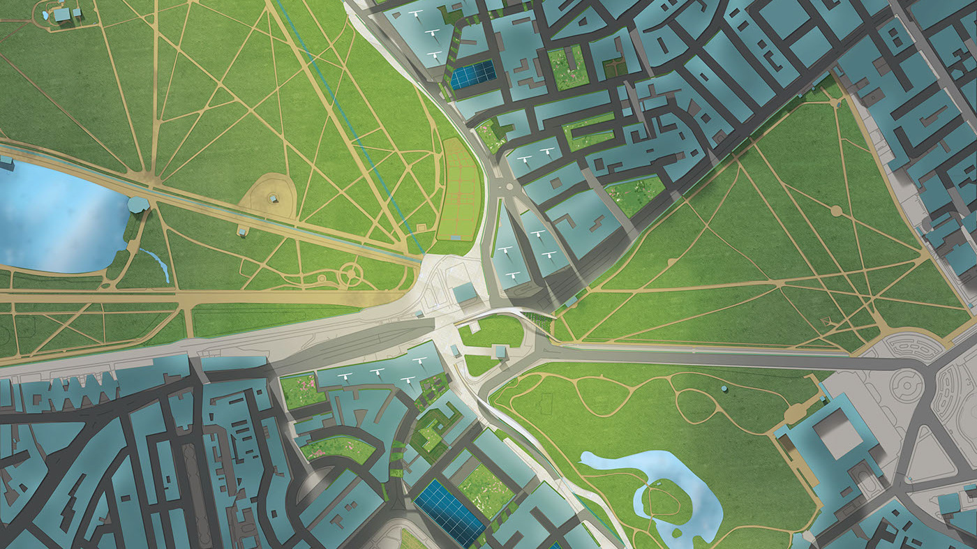
Here is what I produced for our comprehensive analysis (the final result included many more dimensions, and text, produced together with my skilled and zealous group members). We are currently spending around 10 hours each day on our final vision of the area’s future, which you may look forward to finding published here soon.
Illustrations to characterize movement and flux in the corridor:
Victoria Station in the morning
Victoria Station midday
Victoria Station at night
Wellington Arch at night
Pedestrian users of the corridor
Vehicle flows in the corridor. Source: Department for Transport


